Analysis
Fairmount Line
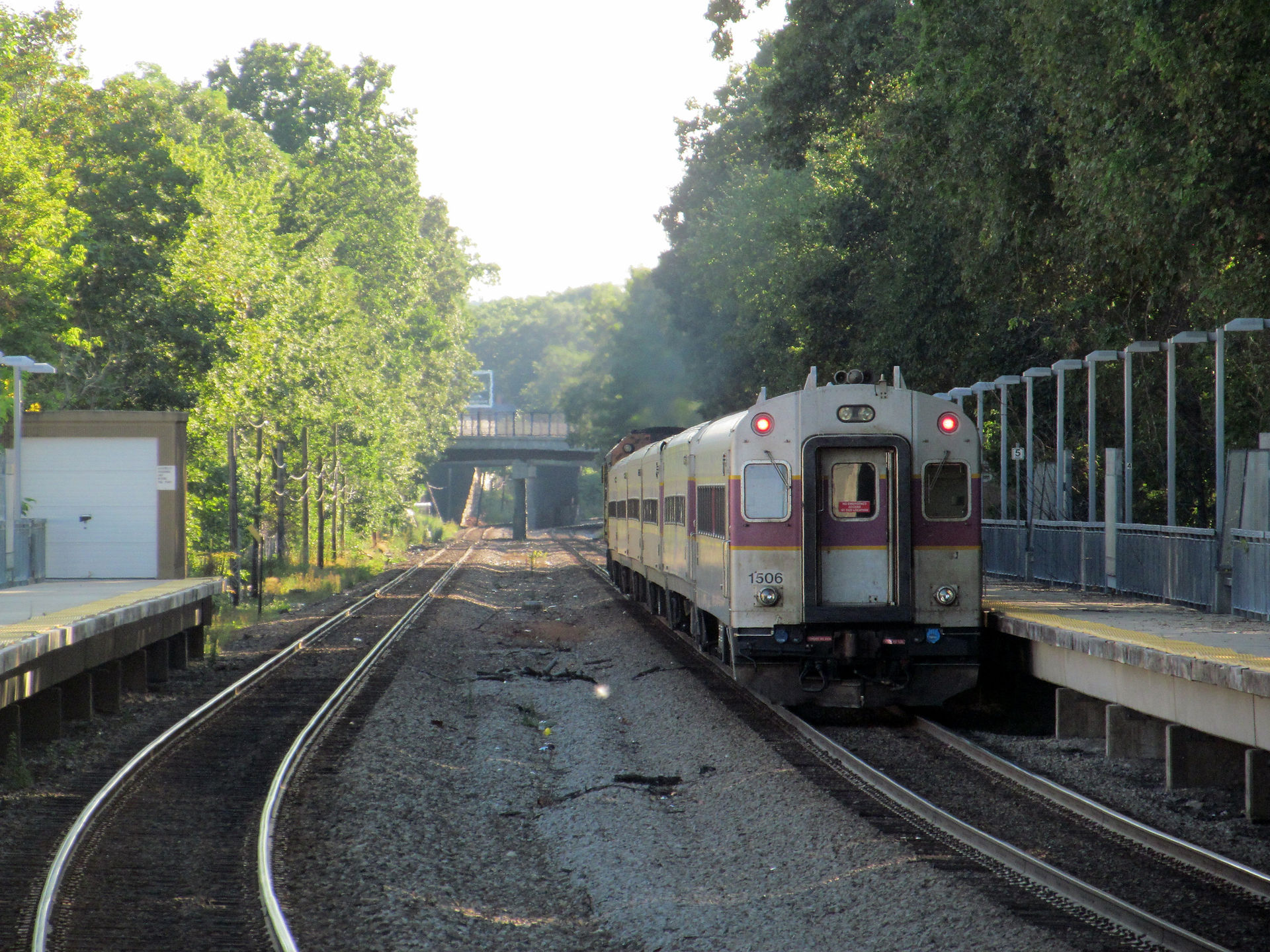
Morton Street
The majority of land within the 0.5-mile radius of Morton Street station is residential at 63%. This is followed by land use for ‘exempt’ at 30% and commercial at 6%. The largest category within the residential land use is R2 at 18%. There is a high population of housing cost burdened owners and renters as well as low-income households around Morton Street, contributing to a score of 3.45 for its equitable development opportunity, which means there is a need for intervention. However, with a score of 3.14 on physical opportunity, there is only medium physical growth potential around Morton Street as there is not much vacant land and underutilized space.
Using the equitable opportunity and the physical availability scores, we plotted each station’s results on the following bivariate table. The quadrant on the top right corner shows those stations with medium to high equitable development opportunity and medium to high physical space availability. For the Fairmount Commuter Rail Line, these transit stations are: Uphams Corner, Talbot and Morton. Therefore, we recommend these areas to be prioritized for equitable transit-oriented development. As it was mentioned earlier, the active participation of the community is key to the success of any future projects.
Stations in the top left quadrant have a medium-to-high physical opportunity and a medium-to-low equitable development opportunity score. Although no Fairmount Line stations fell in this quadrant,the idea is that we should seek strategies to mix income and increase diversity for stations in this category.
On the other hand, stations like Four Corners, Newmarket and Fairmount, located in the bottom right corner, depict medium-to-high equitable development opportunity and medium-to-low physical opportunity. We would recommend tackling these stations after those on the top right quadrant, and work with the community to jointly define new zoning regulations that would permit higher density and mixed-income development projects.
Finally, those stations in the bottom left quadrant show medium-to-low opportunity in both equitable development and physical availability. Therefore, we would recommend updating the zoning regulations along with the community, in order to promote higher density and mixed-income developments. The only Fairmount Line node in this quadrant is Readville.

Figure 1. Average scores for Fairmount Line’s transit nodes
Node Selection
From the bivariate table’s (Figure 4) right-upper quadrant, the top three node are Uphams Corner, Talbot Avenue, and Morton Street. In the case of Uphams Corner and Morton Street, their suitability for sustainable development is also corroborated in the previous univariate analysis. Newmarket emerged as a possible node for sustainable development in the univariate analysis, as this area did not present any low ranked variable of analysis. However, the only variable that ranked high for Newmarket from an equitable development opportunity perspective was the percentage of low income households. Since the rest of Newmarket’s equitable development variables are considered to be of mid opportunity for we decided to disregard this node. By its part, Talbot Avenue presented more balanced grades on its variables, thus we decided to analyze it more in detail together with Uphams Corner and Morton Street.
With the intention to privilege the social aspect of sustainable development, and seeking to maximize the amount of housing stock as urged by the Housing Boston 2030 strategy, the criteria that was established to evaluate the bivariate table’s (Figure 4) top three nodes are, in order of importance:
1) Largest individual block groups with high Equitable Development Opportunity Score
2) Largest individual vacant parcels
3) Largest individual parcels with high Opportunity GSF
4) Closest distance to transit node
Note: Although these criteria may seem to favor a site-centered focus instead of capturing greater node-wide opportunities as a whole, we decided to proceed this way with our node selection because at the end of the day we envision a more detailed and customized development proposal to be more valuable to the Boston Planning and Development Agency (BPDA), as opposed to a generic, node-wide development guideline. If the City of Boston and the BPDA were interested in a more comprehensive, larger-scale development strategy, it would be then recommended to review the individual node maps by variable of interest that are compiled in Appendix B.
Continuing with our node selection method, a visual comparison of the three nodes is shown in Exhibit 1 for each of the variables related to the three selection criteria above listed.

Exhibit 1. Fairmount Line Top 3 Nodes comparison by
Equitable Development Scores, Vacant Land, and Opportunity GSF
In the scrutiny of these maps, it can be observed that Morton has the greatest potential in terms of individual block groups’ equitable development scores because, within a half-mile buffer, this node has the largest block group with a high equitable development opportunity score of 4.6. In addition, Morton Street node has seven block groups in the second highest equitable development opportunity score range of 3.8 - 4.2. Talbot Avenue also has a large block group with a score of 4.4, but half of it lays outside the half-mile buffer. Talbot Avenue has five block groups in the 3.8 - 4.2 score range. Uphams Corner also a block group with an equitable development score of 4.8, but at least ¾ of it lay outside the half-mile buffer. A total of six block groups in the 3.8 - 4.2 score range in Uphams Corner, only one shy from those in Morton Street node. Therefore, we conclude that Morton Street is the node that best meets the first criteria. Exhibit 2 below zooms in at each analyzed station.

Exhibit 2. Fairmount Line Top 3 Nodes comparison by Equitable Development Scores
From a vacant land standpoint, it can be clearly perceived that the largest individual vacant parcels, both private and exempt, are in Morton Street as well. The largest private vacant land in Morton Street has 47,660 square feet, while the largest exempt vacant land is 255,702 square feet. Talbot Avenue’s exempt vacant land ranked high in the univariate analysis, but this is because Harambee Park and Saint Mary Cemetery account for 1,972,675 and 446,290 square feet respectively, but both areas are considered open space that we do not want to disturb. Consequently, Morton Street node stands out again in terms of individual vacant parcels that would be available for development.
As far as Opportunity Gross Square Footage is concerned, Uphams Corner is the best node since it has the parcel with the highest Opportunity GSF, equivalent to 1,970,534 square feet. The second largest Opportunity GSF is in the Talbot Avenue node, with 1,077,178 square feet, while the third largest is in Morton, with 994,309 square feet. The total amount of Opportunity GSF per node in the entire half-mile buffer area is 8,109,261 square feet in Uphams Corner; 7,794,217 square feet in Morton Street; and 3,463,756 square feet in Talbot Avenue. It would be pertinent to note that even though Uphams Corner and Talbot Avenue have the greatest opportunities in terms of allowable GSF, these parcels have been already developed for commercial or lowdense residential land uses (See Exhibits 3 and 4). In other words, those parcels are not vacant. It is important to take this into account as these low-dense residential or commercial parcels may be less economically feasible to redevelop, and it would be highly likely to get greater community resistance in case it was decided to pursue a development projects there. Exhibit 5 shows vacant land and Opportunity GSF in Morton Street node.

Exhibit 3. Vacant Land (left) vs Opportunity GSF (right) - Uphams Corner

Exhibit 4. Vacant Land (left) vs Opportunity GSF (right) - Talbot Avenue

Exhibit 5. Vacant Land (left) vs Opportunity GSF (right) - Morton Street
Given that Morton Street station ranked first in our selection criteria number 1 and number 2, and being second best regarding total Opportunity GSF, this node gets selected for a new development proposal that is further detailed in this document.
Site Selection
By looking at Morton Street’s vacant land maps, two parcels immediately catch the attention. It is no coincidence that these parcels are the same ones highlighted in the Node Selection section: a 255,702 square feet exempt parcel and a 47,660 square private parcel. Both parcels are within the block group with the highest opportunity development score in the node. However, even though it is not declared as open space, the larger of these two parcels is actually green open space, as observed in the satellite view on Exhibit 6. On the other hand, the smaller private vacant parcel is an empty lot (See Exhibit 7). In addition this empty space is located literally 1 minute away to Morton Street transit station by foot. Moreover, this site is in a commercial area that is surrounded by extensive residential land use, thus making it suitable for a mixed-use development (See Figure 2). All these features make then the land located at 869 Morton Street the ideal spot for a sustainable development project in the entire Fairmount Commuter Rail Line, according to the framework and methodology presented in this report. A development scheme proposal for the site is described in the following section.

Exhibit 6. ArcGIS (left) and satellite view (right) of Morton Street node with proposed development site location outlined in light blue

Figure 2. Morton Street node’s current land use

Exhibit 7. Street view of vacant parcel proposed for development, located at
869 Morton Street, Boston, MA 02126. The train station can be seen at the bottom
Qualitative Field Study
It is worth to mention that as part of our analysis, our investigation team visited a total of 7 sites that were identified as potential locations for sustainable development. Four of these sites are located in Uphams Corner’s node, one near Talbot Avenue station, and two near in Morton Street station. All sites from Uphams Corner have potential indeed, except that they are small parcels. Talbot Avenue’s was also a great option, although it was still a smaller parcel compared to those in Morton Street. One of the two visited sites at Morton Street was the already proposed lot at 869 Morton Street, and the other is actually a larger 123,519 square feet parcel that was identified in the GIS analysis as vacant land. Unfortunately, during the fieldwork analysis we realized that this place located at Evans St., Boston MA 02126 is already developed for either industrial or commercial use (See Exhibit 8). This is an example of one of the limitations of the GIS analysis.


Exhibit 8. Google Maps street view (left) of parcel located at Evans St., Boston, MA 02126, “versus” actual condition observed in the field study (right)
However, another finding from the field study was an abandoned structure of what it appears to be an old food production facility. This parcel is located literally steps away from Uphams Corner train station at 55 Humphreys Street, Boston MA 02124, and it has 135,007 square feet of constructed floor area, sitting over a 29,735 square feet lot currently denominated as commercial land use. This parcel was not identified by any of the physical opportunity variables in the GIS analysis mainly because it contains a high-dense 7-story building, so it was not detected as Opportunity GSF, nor as Opportunity FAR Ratio, nor as vacant land. This is thus another limitation of the GIS analysis. But the fact that this large abandoned structure is located next to the transit station in a block group with a high equitable development score of 4.2, makes it worthwhile to explore the possibility to renovate it. And if this wasn’t enough, a 10,396 square feet commercial parcel is sitting vacant just across the street at 706-714 Dudley St. This vacant lot could be transformed into a public space as part of the renovation project. Exhibit 9 shows a bird’s eye view of both parcels.

Exhibit 9. Opportunity for housing development observed at 55 Humphreys Street, Boston MA 02124. This abandoned structure was detected in a qualitative field study
